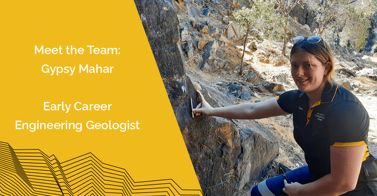
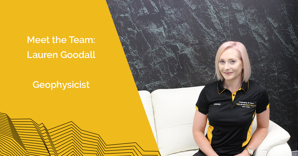
Meet the Team: Gypsy Mahar, Early Career Engineering Geologist
Update: Gypsy is no longer at MGT Gypsy Mahar Early Career Engineering Geologist What is your role, and how long have you been at MGT? I have been with the company for nearing two years, in the role of an early career engineering geologist. What

